The Great Northern Road Trip Series - Part 3
Part 3 – Glacier National Park to Upper Missouri River Breaks National Monument
The Upper Missouri River Breaks National Monument is one of the country’s truly stunning natural areas. The Upper Missouri River, near Fort Benton in north-central Montana, is a relatively isolated oasis surrounded by hundreds of miles of nostalgic agricultural fields and rolling prairie. This secluded setting is precisely what distinguishes your trip as a once-in-a-lifetime opportunity.
Montana is a wild, picturesque, and spectacular state with infinite chances for recreation and adventure. The Upper Missouri River is a hidden, often under-visited gem in the middle of this huge and varied state. Popular sites are frequently separated by substantial distances, with hidden, sometimes under-visited gems in between, such as the Upper Missouri River. Today we’re going to take you through the next section of our trip across the United States via the Great Northern route, passing through wonderful towns and sceneries and ending in the remarkable setting of the Upper Missouri River Breaks.
The Top Glacier National Park to Upper Missouri River Breaks Drive Stops
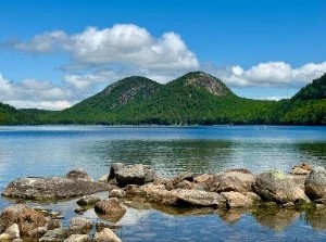
Flathead Lake/Flathead National Forest
Vivid horizons, jaw-dropping panoramas, and amazing encounters are certainly abundant on this road trip, and any traveler is surely able to find their zen right here in Kalispell, inside the 2.4 million acres of the Flathead National Forest, away from the crowds at Glacier National Park.
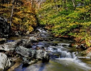
The Flathead National Forest's immense wilderness regions display the Rocky Mountains in all their majestic beauty, with mountain peaks towering above the clouds and a seemingly endless horizon spanning as far as the eye can see. Since the Flathead National Forest is so large, there are almost no traffic bottlenecks, crammed parking lots, or trails that become backed up. It also has something for any outdoor enthusiast, with everything from basic treks to mountain ascents, to activities like boating, biking, skiing, fishing, and more. The Flathead National Forest's rivers are also wonderful for rafting, and there are lots of knowledgeable outfitters who can take you where you want to go.
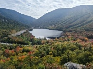
Columbia Mountain Trail
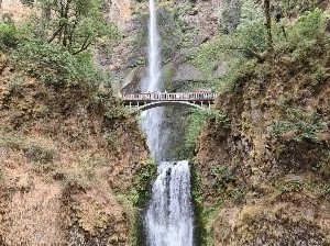
Before rising to the peak of Columbia Mountain, the Columbia Mountain Trail follows the forested northwestern flank of the Swan Mountain Range. Glacier National Park to the north, Great Northern Mountain and the Great Bear Wilderness to the east, and the Swan Range to the south are all visible from the summit. Because of its accessibility to the cities of Columbia Falls and Hungry Horse, Montana, the trail gets a lot of attention.
This trail is graded as challenging and is typically hiked as an out-and-back, but it can also be looped or used as a connector to the Alpine 7 Trail.
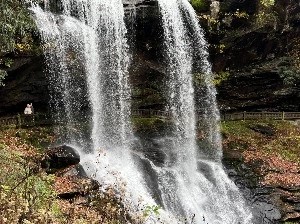
If you don't feel like trekking the 5 miles to the summit, there are several rock outcrops along the trail's lower stretch that provide views of the Flathead Valley. Waterfalls may be found at a mile, 2.5 miles, and 4 miles from the trailhead. Throughout the spring and summer, the route is known for its wildflower blooming. Since this is a multi-use path, expect to see mountain bikers, equestrians, and dirt bikes in addition to hikers.
HIGHLIGHTS
- Waterfalls along route
- Exceptional wildflower variety
- Scenic overlooks
- Access to Alpine 7 Trail
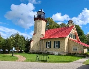
Glacier Distilling Co & Tasting Room
Glacier Distilling is a small artisan distillery and tasting room located in Glacier National Park's foothills. Small-batch whiskeys that reflect the raw beauty of the surroundings which is the area's specialty. During your next trip to Northwest Montana, stop by the Whiskey Barn. They make alpine whiskeys with local grains and pure glacier water from the Northern Rockies, which are best experienced in the great outdoors. For tasting flights, cocktails, and bottle sales, stop visit their tasting room in Coram, Montana, just 7 miles from the west entrance of Glacier National Park.
Blackfeet Indian Reservation
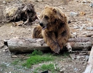
The Blackfeet Indian Reservation provides a valuable bridge between wildlife on the Front and the rest of the Crown of the Continent ecosystem, with 1.5 million acres of some of the finest wildlife habitat on the Rocky Mountain Front. It's a lovely patchwork of native grassland, prairie pothole lakes, wetlands, and aspen parklands. The reservation, which hugs the park's eastern slopes, provides a crucial habitat for many of the park's amazing biodiversity. The land is home to a diverse range of animal and bird species, in addition to grizzlies.
The reserve is also home to the Blackfeet Nation, a unique indigenous people. The Blackfeet, or Amskapii Piikunni — the Blackfoot Confederacy's southern tribe — were born in this lovely environment and have evolved with it for thousands of years. The Blackfeet Nation is now one of the country's ten largest federally recognized Native American tribes.
Beaver Creek Park (Rising from the Foothills)
Hill County Beaver Creek Park is located south of Havre, Montana, rising from the foothills and concealed in the Bears Paw Mountains. The park is over 10,000 acres in size and runs for about 10 miles along Secondary Highway 234: Beaver Creek Highway. It is the largest county park in the United States, having been established in 1916.
Beaver Creek Park is open to the public for recreation and environmental purposes all year. Camping, fishing, picnicking, wildlife viewing, sightseeing, hiking, and a variety of other outdoor sports are all encouraged. All park visitors must have a valid park permit. Beaver Creek Park contains over 100 campsites and picnic spots. The majority of the spots are non-reservable and filled on a first-come, first-served basis. Larger sites can be rented for events and group camping.
An RV dump station is located in the middle of the campground around mile marker 18 for increased convenience. Filling stations for potable water are positioned in front of the park office.
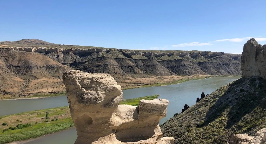
Upper Missouri River Breaks National Monument
Within the 149-mile span of the Upper Missouri River Breaks National Monument, hiking and off-trail exploration options abound. There are particular sites and routes that receive a lot of traffic, owing to their accessibility and their sheer beauty. Then there are sections that are largely untapped, with no well-worn trails but enormous swathes of open range or steep coulees flowing away from the river's side and up to the prairie lands above. The White Cliffs, river mile 42-88, and the Badlands, river mile 88-149, are the second and third important portions of the monument, respectively.
One piece of advice: the longer you stay at the monument, the more time you'll have to wander, engage yourself in the experience, and thoroughly absorb the unfathomable soothing effects of life away from life.
This stretch of our road trip along the Great Northern route is brimming with untouched beauty and plenty of wide-open lands that are truly so hard to come by these days. We’re another 260 miles closer to our destination in Maine, but hopefully this journey is shaping up to be the adventure you’ll never forget and never want to end.


Want to plan your next epic road trip?


Report a comment
Please let us know why you want to report the comment from this user:
Thank you. Your report will be reviewed soon